【版权声明】根据《中华人民共和国著作权法》及相关法律法规,本平台提供的软件资源仅限用于个人学习、研究等非商业用途。任何单位或个人若需将本软件用于商业运营、二次开发、公共服务等营利性场景,必须事先取得软件著作权人的合法授权或许可。未经授权擅自进行商业使用,将可能面临民事赔偿、行政处罚等法律责任。 本平台已尽到合理提示义务,若用户违反上述规定产生的法律纠纷及后果,均由使用者自行承担,与平台无任何关联。我们倡导用户通过官方渠道获取正版软件,共同维护健康的知识产权生态。 注:本声明已依据《计算机软件保护条例》第二十四条、《信息网络传播权保护条例》第六条等法规制定,确保符合我国版权法律体系要求。
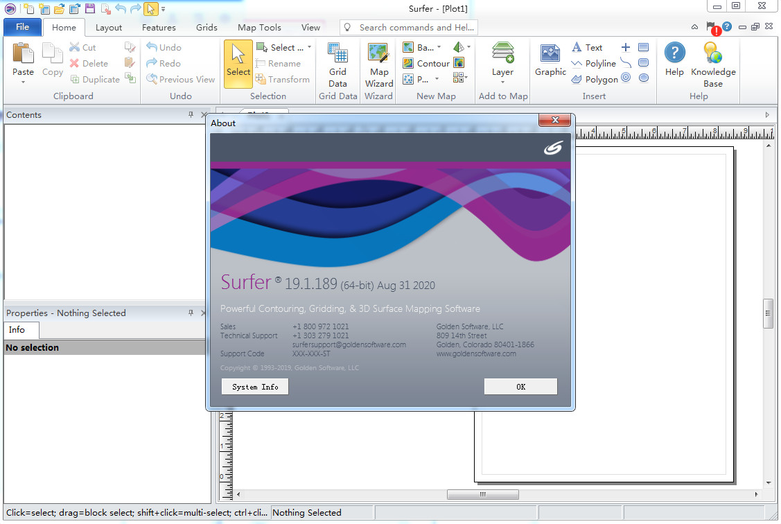
Golden Software Surfer 19: An Overview
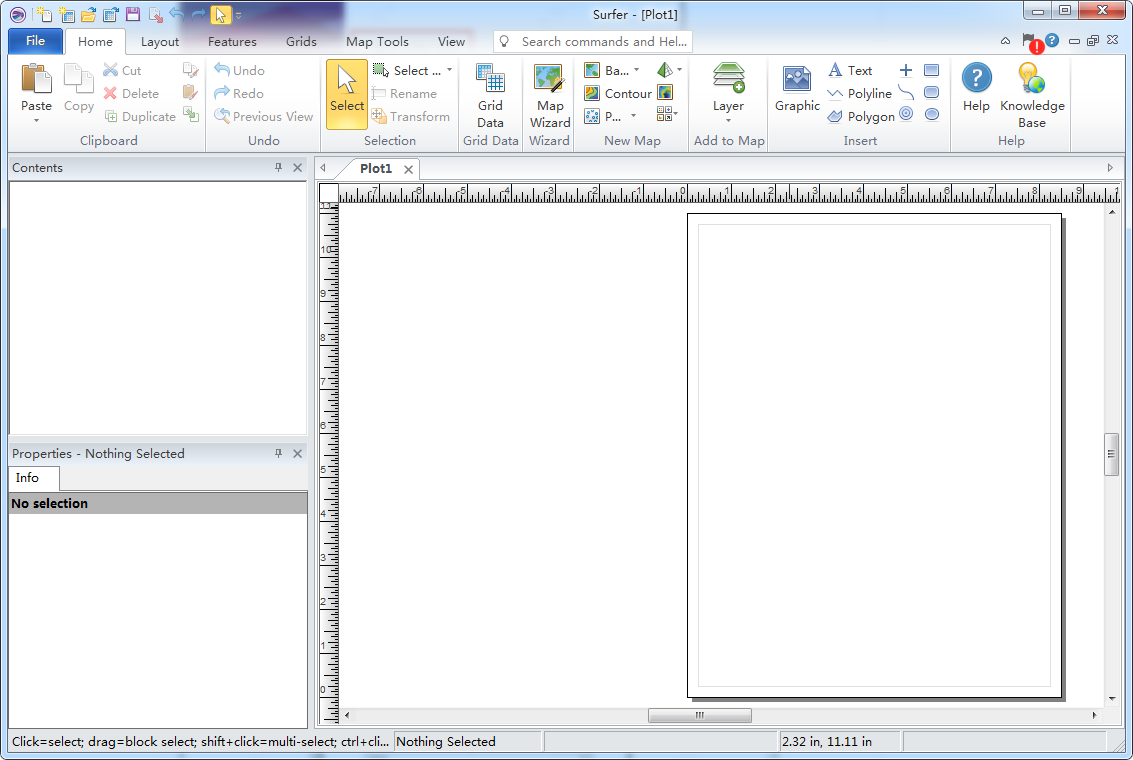
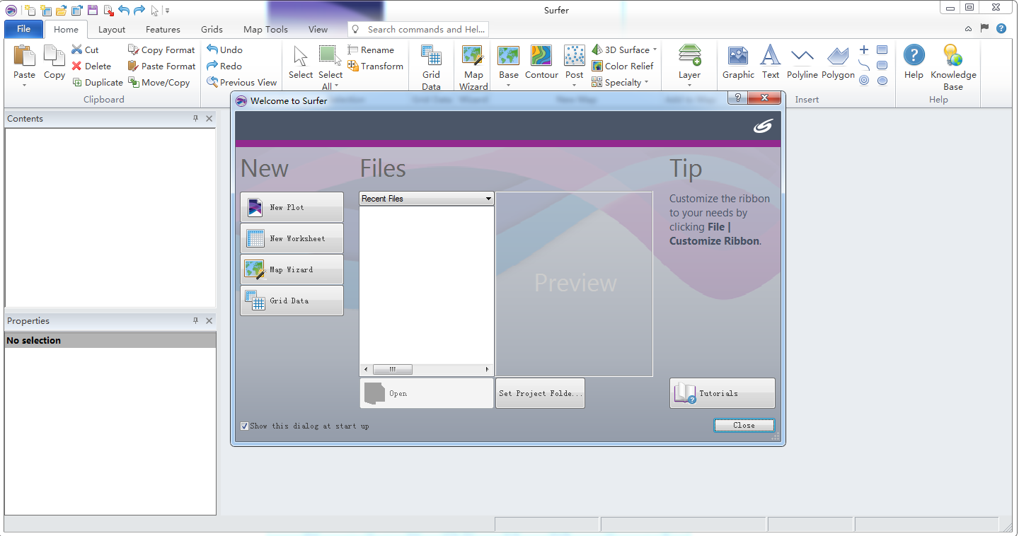
Golden Software Surfer 19, developed by Golden Software, is a state-of-the-art 2D & 3D scientific data visualization software. It is meticulously designed to enhance processing speed, optimize workflow, and boost efficiency. This software enables users to effortlessly create base maps, data point maps, categorical data maps, contour maps, wireframe maps, terrain maps, trend maps, vector maps, and 3D surface maps, saving a significant amount of time in the process.
Featuring robust interpolation capabilities and drawing power, Surfer 19 is the preferred choice for handling XYZ data. It supports 11 data grid methods, encompassing most popular data statistical computation methods, and offers input/output interfaces for various graphic file formats and major GIS software file formats, facilitating smooth file and data exchange. The software also includes a new script editing engine, significantly enhancing its automation features.

New Features in Golden Software Surfer 19
- Pie Chart Creation: Display numerical attribute data using pie charts.
- Attribute Table: Connect attribute data to vector objects in the attribute table.
- Data Exclusion Filters: Exclude points from post or classified post layers based on numerical standards without editing the source data file.
- Accurate Map Scaling: Resize maps by dragging without distorting the internal zoom ratio.
- Convert Grid-Based Maps: Convert grid-based maps to other grid-based map types without reloading files.
- Quicker Map Creation: Create new maps faster and more intuitively with improved file opening and editing features.
- Drag and Drop File Map Creation: Create maps by dragging and dropping files into the Plot document.
- Contour Map Generation: Generate contour maps faster with multithreading and optimized algorithms.
- Shared Grid/Data/Image Files: Use the same input files for various map types without repetition in the SRF Project file.
- Export to 3D PDF: Export models from the 3D view to interactive 3D PDF format.
- 3D Viewer Cancel Command: Cancel model rotation, lighting changes, vertical exaggeration changes, and object format changes in the 3D viewer.
- SRF Preview in Windows File Explorer: Preview SRF files as thumbnAIls in Windows File Explorer.
- ZoomPrevious/Previous View: Use the ZoomPrevious command to undo the last zoom and return to the previous view.
- Post Map Interval Copy/Paste Format: Easily transfer interval formats from one map to another with the copy/paste format tool.

Key Characteristics of Golden Software Surfer 19
- Data Analysis: Utilize various analysis tools to delve deeper into your data.
- Communicate Results: Confidently communicate your findings with comprehensive and detailed data visualization.
- Trusted Since 1983: Surfer has stood the test of time, trusted by thousands of scientists and engineers worldwide.


